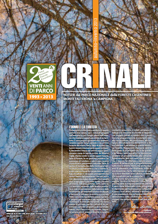
Identity card
Institution:
with D.P.R. of 12 July 1993 "Establishment of the National Park of Casentino Forests, Monte Falterona and Campigna".
Management:
Autonomous body regulated by law n. 394/91; the Park's authorities are: the Board of Directors, the Executive Committee, the Board of Auditors, the Park Community.
Extension:
about 36,843 ha, divided into four zones with differentiated protection, as foreseen by the Park Plan.
"Integral reserve zone A":
includes areas of exceptional naturalistic value, in which anthropization is absent or of little importance, and in which the natural environment is preserved in its entirety; these are designed to safeguard and maintain the biological and environmental balance in place, and to prevent and eliminate any endogenous and exogenous disturbance factors. With an area of about 924 hectares, this area includes the Integral Natural Reserves of Sassofratino, Pietra, and Monte Falco.
"Zone B":
the area where the activities allowed are aimed at improving the complexity of ecosystems, maintaining natural and cultural balances, exalting and preserving the elements of strong landscape, historical, monumental characterization, even if not consistent with the natural characteristics peculiar to the area itself. In the B zone, natural characteristics are preserved in the most undisturbed state possible. The naturalness is maintained through basic protection, the active intervention of the Agency, and the maintenance for only educational, educational, popular, recreational, and agrarian-woodland-pastoral traditional uses, compatible with the preservation of the characteristics of maximum naturalness. It includes most of the regional state forests, the Verna monumental complex, and the State Biogenetic Nature Reserves (Camaldoli, Scodella, Campigna and Badia Prataglia).
"Zone C":
characterized by the presence of natural, landscape and environmental resources worthy of protection and enhancement. It includes areas of naturalistic interest, characterized by the fact that human activity has conformed the appearance of the locations and the environment bringing it to the current state deserving protection, which must be protected by the landscape through the maintenance of balance between the system settlement and the natural one.
"Zone D":
includes all the urban centres and their planned expansions, as well as areas for traditional production, small centres of historical value and of tourist value.
Surveillance:
Forestry Corps of the State, organized in the Territorial Coordination for the Environment which is headed by 10 forest station commands.
Distance of Park boundaries from cities:
Florence 49 km; Arezzo 48 km; Siena 100 km; Perugia 104 km; Rimini 96 km; Forlì 46 km; Bologna 116 km; Cesena 60 km.
Regions involved:
Emilia-Romagna (18.200 ha) and Tuscany (18.000 ha).
Provinces concerned:
Forlì (18.200 ha), Arezzo (14.100 ha), and Florence (3.900 ha)
Municipalities concerned:
Bagno di Romagna, Santa Sofia, Premilcuore, Portico - San Benedetto and Tredozio (FC); Chiusi della Verna, Bibbiena, Poppi, Pratovecchio Stia (AR); Londa, and San Godenzo (FI).
Property:
State Property (5,300 ha); State Property of the Regions (18.800 ha); private individuals (12,100 ha).
Residents:
about 2,000.
Wooded surface:
over 80% of the total area.
Waterways:
in Tuscany, the high course of the Arno with its tributaries: Staggia, Fiumicello, Archiano and Corsalone; in Romagna, the torrents Tramazzo, Montone, Rabbi and the river Bidente with branches of Corniolo, Ridracoli and Pietrapazza.
Lakes:
the artificial lake of Ridracoli, 369 ha.
Highest peak:
Monte Falco 1658 meters above sea level.
Lower points:
430 m in the Bidente valley of Ridracoli; 450 m in the valleys of the Bidente di Corniolo and del Montone; 470 m in the valley of the Corsalone stream.
Use the webgis to discover the administrative boundaries of the protected area and the zoning as defined by the Park Plan